Clee Hills
Wednesday 11 July 2012
On the 11 July 2012 the U3A geology group organised a day trip to the Clee Hills in Shropshire. The day was planned and led by Judy and Roger Smith.
We met at the Ludlow Food Centre which is located at Broomfield, a couple of miles north of Ludlow. When all were assembled Judy explained the itinerary for the day. Firstly we were to drive to Craven Arms and then follow a north-easterly path to the start of the route. We would then walk to the summit of Clee Burf. This transect was designed to allow us to start with the oldest rocks, and finish with the youngest. The car journey would be within the Silurian system, moving through the Wenlock, Ludlow and Downtonian Series. The very impressive Wenlock Edge was towards the start of the transect.
The walk would then involve a change to the Devonian system. Towards the summit of Clee Burf there is an unconformity, with Carboniferous Coal Measures. Finally we would arrive at the summit, an intruded sill of olivine dolerite.
To view a geological map of the area click here, and set the “Go to location” box for “Craven Arms” for the start of the drive, and “Stokegorse” for the start of the walk.
The walk
You may want to repeat our walk. We parked at Stokegorke (OS map 217, Long Mynd and Wenlock Edge GR SO568834). We proceeded across Clee Liberty Common to the summit of Clee Burf (GR SO593844). On the way back we visited Nordy Bank Hill Fort. For a useful map, click here.
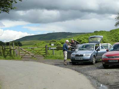
The start of the walk, we parked at Stokegorse, map ref SO568834. The radio masts of Brown Clee Hill ahead.
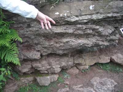
An exposure of Devonian Lower Abdon Limestone, on Clee Liberty Common.
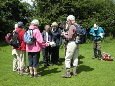
Judy explaining things on the walk. At Clee Liberty Common.
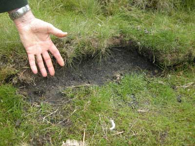
Coal seam on Clee Burf. We are now passed the unconformity and into the Carboniferous Coal Measures.
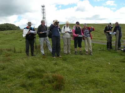
The group at the summit of Clee Burf.
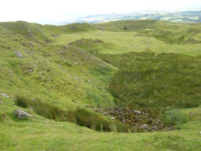
The quarry at the summit of Clee Burf.
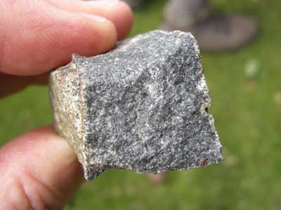
A piece of Dolerite from the summit of Clee Burf. This has come from a sill intruded into the Coal Measures.
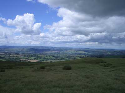
The view from the summit of Clee Burf. Judy produced an annotated field sketch highlighting the key points of interest.
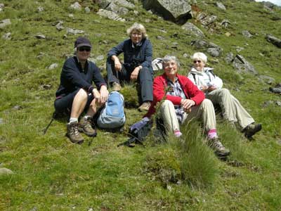
Lunch stop. Some of the group near the summit.
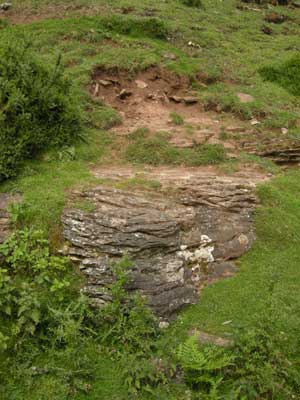
Red sandstone overlaying green sandstone next to the Nordy Bank Hill Fort (see reference 1, page 98, second paragraph).
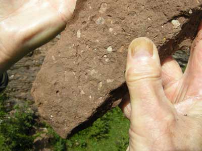
Close up of the green sandstone, next to the Nordy Bank Hill Fort
For additional reading:
1. The Geology of South Shropshire: Allbutt, Moseley, Raynor
and Toghill. Geologists’ Association Guide No. 27. See pages 96 to 101, Clee
Hills.
2. The Geology of Shropshire, Second Edition, Peter Toghill.